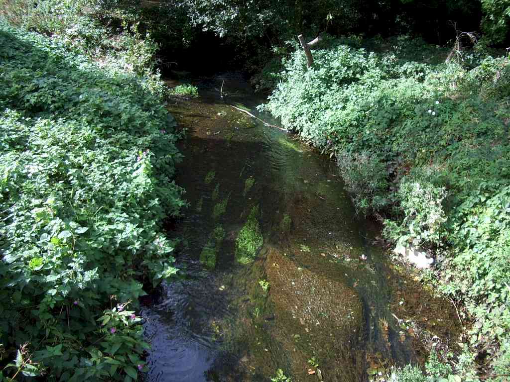
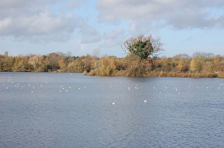
The Brook

The first representation of the Emm Brook appears on Nordens Map of Windsor Forest in 1607. The actual source of the Emm Brook may be uncertain but the Emm Brook takes water from several places including Crowthorne Woods Special Protection Area (SPA), which lies between Crowthorne, Bracknell and Bagshot. It also takes water from land at Easthampstead Park (Bracknell), Wellington College (Crowthorne) and the grounds of the Transport and Road Research Laboratory(TRL) (Crowthorne). This reaches the Emm Brook from Heath Lake a SSSI site and from Queen's Mere and King's Mere via the Queens Brook . Water from these streams flows off heathland and coniferous woodland with acidic soils, so the water is naturally acidic. This favours the survival of particular plants and animals.
The water from all these sites flows northwards to where the two main tributaries of the Emm Brook converge in the Chapel Green area to the rear of Tesco's on Finchampstead Road, Wokingham. It is at this point that it achieves main river status from The Environment Agency and becomes the Emm Brook.
It then flows northwards under Finchampstead Road (A321) and through the Molly Millars Lane Industrial area of Wokingham . At the bridge on Barkham Rd it enters "Riverside Walk". This area of open space is maintained by Wokingham Borough Council and provides a rich environment for wild life. The brook continues through" Riverside Walk" which is a very popular section of the brook until it leaves the Woosehill area under the A329 at Woosehill roundabout.
From here it flows through the Emmbrook area of Wokingham running alongside Emmbrook School and under Emmbrook Road before entering "Emmbrook Walk" another area of open space maintained by Wokingham Borough Council. It meanders through this space where it is joined by another tributary, the Ashridge Stream, just before Toutley Bridge which flows from the Dowles Green area of Wokingham. It leaves the town at Toutley Bridge on the edge of Emmbrook at Old Forest Road. This area on the opposite side of Old Forest Road has recently been designated a Suitable Alternative Natural Greenspace (SANG) as part of the Matthews Green development. 2 new bridges over the Emm have been built.It is now known as Old Forest Road Meadows. The stream then passes beneath the junction of the M4 and A329(M) motorways and then continues to run parallel with the motorway through farmland under Colts Bridge continuing via Merryhill Green and "Bluebell Meadows", another Wokingham Borough Council maintained open space,and under the A329M to Dinton Pastures Country Park.

At Dinton Pastures the original course of the Emm Brook was diverted between 1965 & 1979 to run between what is now Black Swan Lake and the "Old golf course". This was due to gravel extraction on the original farmland. The remnant of the old course of the brook can still be seen today, dividing "Goat Island", one of the islands on Black Swan Lake. The Emm then flows under Sandford Lane and around Lavells Lake LNR , to its confluence with the River Loddon at the Green Bridge.
From Chapel Green to its confluence with the River Loddon the Emm Brook is 5.167 miles or 9.04km long. EA data says that it is 14.56 km long with a Catchment area of 4242.139 Hectares or 42.421 Sq Km.
Reporting problems on the Emm Brook
To report an Incident , such as pollution contact the Environment Agency hotline on . : 0800 807060 (Freephone, 24 hour service)
For general enquiries Telephone: 03708 506 506 (Mon-Fri, 8am - 6pm)
or you can email on : enquiries@environment-agency.gov.uk (do not use for reporting environmental incidents)
Emm Brook River levels now on line
The Environment Agency Website now has a daily update and last 5 days graph of river levels on the Emm near Tesco in Area 2.
Maintenance of the Emm Brook
Who is responsible for river maintenance ?
Landowners have ultimate responsibility for the maintenance of the watercourses flowing through, or adjacent to their landholding. However,the Environment Agency (EA) have discretionary powers under the Water Resources Act 1991 to undertake maintenance work on designated main rivers but no duty to maintain them.
The Agency and Wokingham Borough Council also have powers of enforcement to ensure that riparian landowners keep any watercourses flowing through their land, clear of obstructions.
The Emm Brook is designated "Main River" from Chapel Green (to the rear of Tesco's on the Finchampstead Rd in Wokingham) to its confluence with the River Loddon (to the rear of Lavells Lake NR, Hurst). The EA have an annual maintenance programme in place on the Emm Brook. This programme of work is prioritised by assessing flood risk throughout the catchment and involves removing vegetation and debris as well as inspecting river banks and structures.
Environment Agency information on the ecological status of the Emm Brook can be viewed here
